Dehradun, July 2
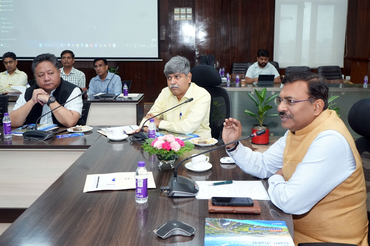
Chief Secretary Anand Bardhan on Thursday participated in the inauguration ceremony of the PM GatiShakti Use Case Collection 2.0 and the launch of a mobile application for departmental data collection, organized by the Planning Department at the Secretariat, along with a two‑day workshop. On this occasion, the Chief Secretary said that the Planning Department and Geospatial Technology are tools through which information related to any location on Earth can be collected, analyzed, displayed, and utilized. This technology will play an important role in infrastructure development in the state. He described the two‑day workshop as a major opportunity and urged all departments to participate as much as possible.
The Chief Secretary emphasized that for a mountainous state like Uttarakhand, the PM GatiShakti portal and Geospatial Technology are crucial. Through this, geospatial technology will play a vital role in road construction, power lines, water pipelines, railway lines, building construction, dams, and other major projects. He said that it will greatly assist in determining the geo‑location of any project and in coordination with other departments. Its importance increases significantly in preparing a complete master plan for Uttarakhand. Another major benefit will be data integration among departments. The more authentic information each department uploads to the portal, the better the results in planning, enabling effective use of the platform and improved coordination among departments.
The Chief Secretary directed the Planning Department to use this platform in meetings of the Expenditure Finance Committee. He said that this will allow better assessment of plans. He instructed that for projects above ₹10 crore, the Site Selection Committee must mandatorily use geospatial mapping through the PM GatiShakti portal. He also directed that all newly approved schemes be uploaded to this portal. He said this will prevent duplication of projects and facilitate coordination among various departments.
The Chief Secretary also instructed all departments to identify Master Resource Persons, giving priority to those who volunteer. He mentioned that the application developed by the national agency Bhaskaracharya Institute for Space Applications and Geoinformatics (BISAG‑N) will be integrated with the State Progress Portal (Unnati). He further directed departments to continuously participate in workshops and also visit BISAG‑N for training and technical support related to this application.